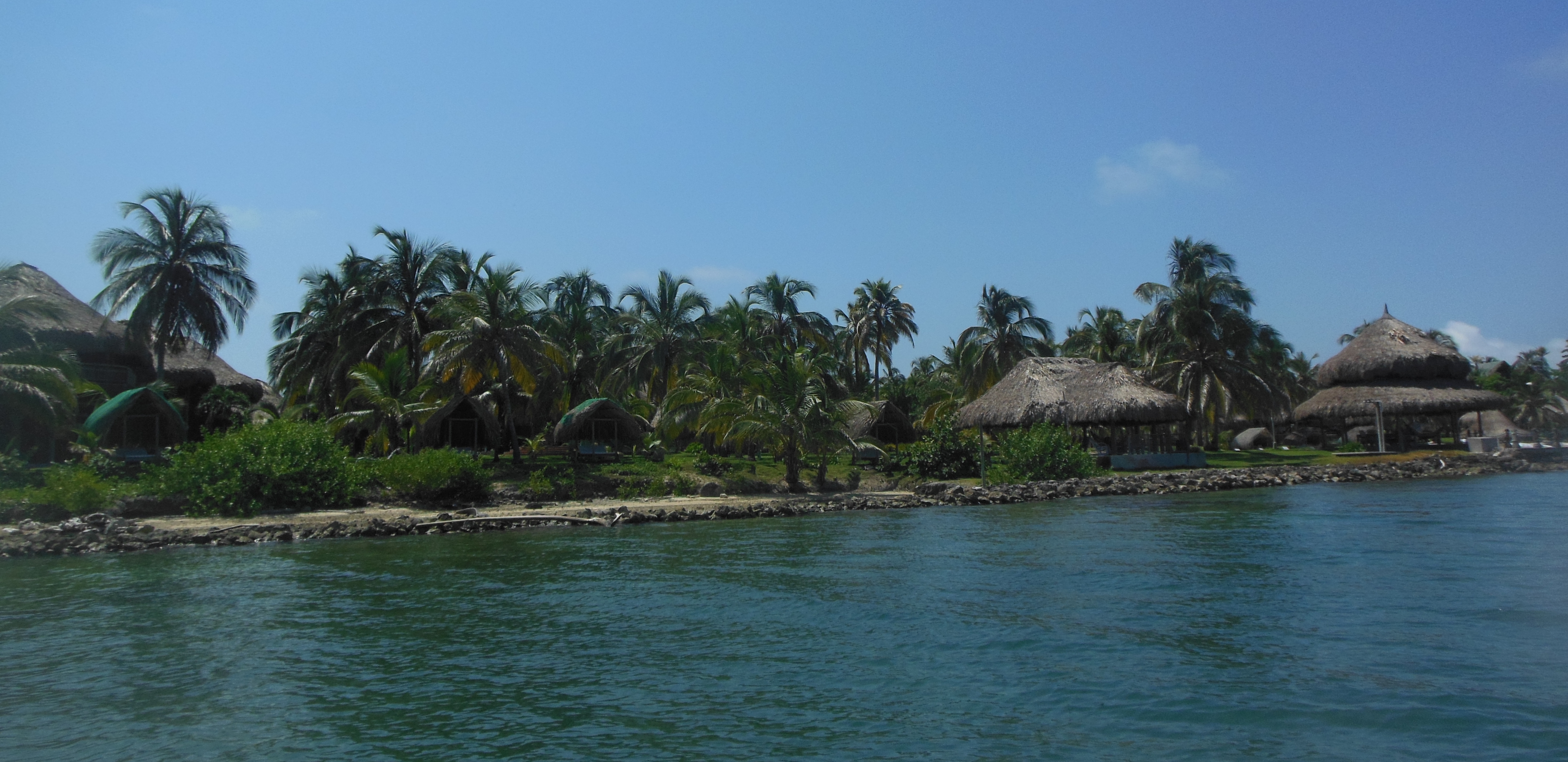
Cartagena Islands
Isla Barú
The Isla Barú or Isla de Barú is a former peninsula south of Cartagena, Colombia. It was cut off from the mainland by the Canal del Dique. It projects out southwest from the southern end of Cartagena towards the Islas del Rosario. It is approximately 25 km long and in places is less than 1 km wide. Approximately 20,000 people live on the island.
Most of the economy of the island is devoted to tourism and summer homes, particularly for visitors to its white sand beach. In 1708 Wager's Action took place off its shores, leading to the sinking of the treasure galleon San José.
Rosario and San Bernardo Corals National Natural Park
The Rosario and San Bernardo Corals National Natural Park (Spanish: Parque Nacional Natural Corales del Rosario y San Bernardo) is a natural park located in the Sucre and Bolívar Departments on the coast of the Caribbean Region of Colombia, 45 km from the Bay of Cartagena. It was the most visited national park in Colombia in 2009, with 318,473 visitors.
Most of the park is underwater and it mainly protects marine ecosystems, including coral reefs living on depths ranging from one to 30 meters.
It is Colombia's only underwater park,and one of three national parks in the Colombian Caribbean with coral reefs on its territories, the other two being Tayrona and Old Providence McBean Lagoon It was established in 1977 to protect the coral reef on one of the islands in the Islas del Rosario archipelago, originally extending 178 km2 (69 sq mi). In 1988, an area of 195 km2 (75 sq mi) was incorporated, and finally in 1996 the park was expanded to the present area, 1,200 km2 (460 sq mi), including Archipelago of San Bernardo.
The park is molded by the Caribbean and Panama currents, as well as freshwater from Canal del Dique. Sediments brought from Magdalena River by the channel is having a negative effect of the park, as it deteriorates the reef There are no bodies of freshwater in the park, but there is brackish water in some of the lagoons on the islands. Average yearly temperature is 27–30°C
Flora and fauna
Most of the wildlife is marine. The park is home to 170 species of fish, 52 corals, 25 sponges, hundreds of molluscs andcrustaceans. The flora is characterized by mangroves and seagrass beds.
.jpg)
.jpg)
Tierra Bomba Island
Tierra Bomba is a Colombian island off the coast of Cartagena de Indias. The island is within the legal administration of Bolívar department and counts with a surface area of 19.84 km² (1984.99 hectares) that house an estimated population of 9,000 people.
Archipelago of San Bernardo
The Archipelago of San Bernardo is a set of nine coastal coral islands and one artificial island (totaling ten) belonging to and governed by Colombia, located in the Gulf of Morrosquillo in the Caribbean Sea, with an approximate area of 213.3 km² Administratively, the archipelago belongs to the Department of Sucre It consists of Boquerón Island, Cabruna Island,Ceycén Island, Mangle Island, Múcura Island, Palma Island, Panda Island, Santa Cruz del Islote (English: Santa Cruz Islet, anartificial island), Tintipán Island and Maravilla Island.
Since 1996, part of the archipelago belongs to the Rosario and San Bernardo Corals National Natural Park.
Flora and fauna
Waters around the islands have fish and turtles, and the islands have significant tropical flora.


No hay comentarios:
Publicar un comentario